|
Tahoe Nugget #222:
Tahoe Open for Business
January 25, 2012
A robust and moisture laden jet stream slammed Tahoe resorts this past weekend, dumping up to six feet of snow in 72 hours in the higher elevations. Peak wind gusts during the storm reached 132 mph on
Slide Mountain near the Mt. Rose ski area.
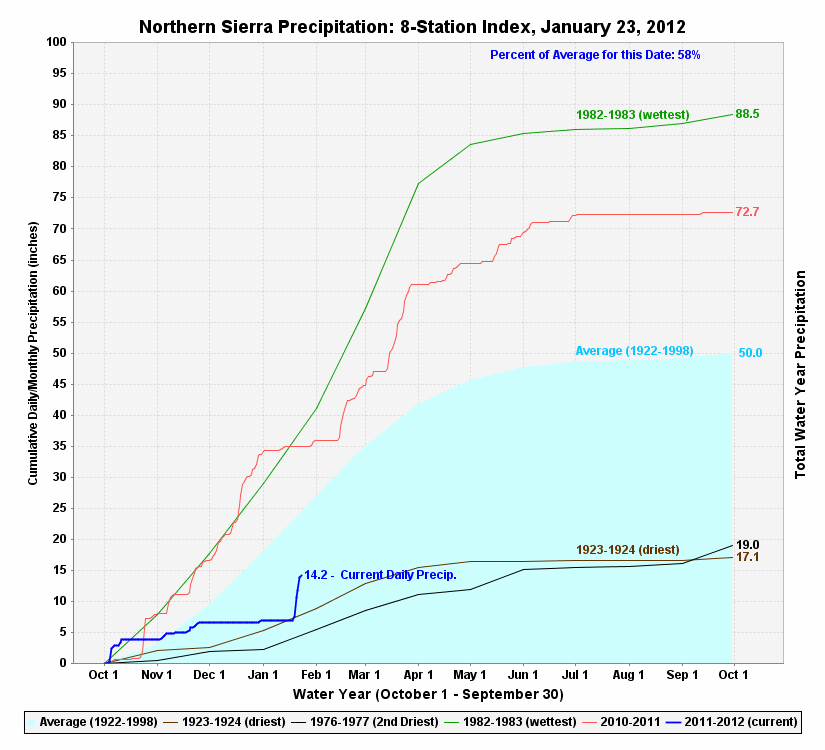
This 8 Station Index graph illustrates the spike in precipitation from the recent storm. The blue plotline for winter 2012 jumped
sharply shortly after kissing the trajectory shared by the two driest winters since 1920 (1924 & 1977). The red line represents the 2011 season.
The heavy snowfall has enabled regional ski areas to open new runs and fire up more chairlifts. By this weekend, nearly all of our regional
ski areas (Alpine and Nordic) will be open for business. It's about time.
Lake Tahoe's water level rose 2 inches in 24 hours during the heavy rain event. Just for perspective, consider that one tenth of an inch of Tahoe's surface represents 1,400,000 tons of water.
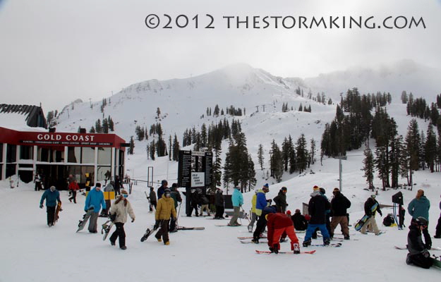
Fresh snow enabled Squaw Valley to finally open their upper mountain.
The snow at Squaw Valley yesterday was a bit sticky on the upper mountain where a gusty but relatively mild wind dampened the
moisture-laden snowpack. Ironically, temperatures were lower at the bottom half of the mountain and the snow conditions colder, making
for faster, more enjoyable skiing on the groomed runs. Despite variable skiing conditions, Squaw and Alpine now have 1,500 acres of
skiing available, served by 21 chairlifts. Early season ski conditions still exist at Tahoe resorts, but base depths now range from two to about five feet deep.
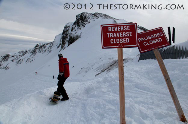
Steeper terrain is still off-limits until more snow falls. .
As high pressure builds in after the last storm, mild air is flowing over the colder dense air trapped in the lower valleys. Inversions (where
air closest to the ground is colder than the atmosphere above) are common when persistent high pressure traps a region in calm conditions with overnight clear skies which allows any daytime heating to escape.
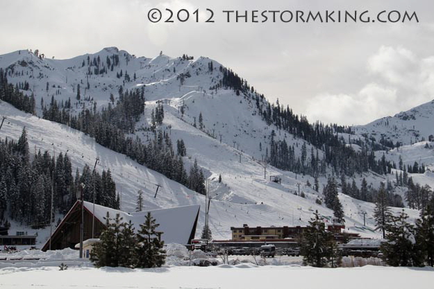
Squaw is looking much better this week, but the chairlift that services KT terrain (center top) isn't running yet.
The Truckee Airport in the Martis Valley is especially prone to inversions that can cause freezing fog during winter and ground fog during
summer. Shoshone Indians call freezing fog pogonip, meaning "white death." Despite this winter's inversion-prone pattern, so far there has
not been much in the way of fog development due to the lack of snowpack in the mountains and minimal moisture in general.
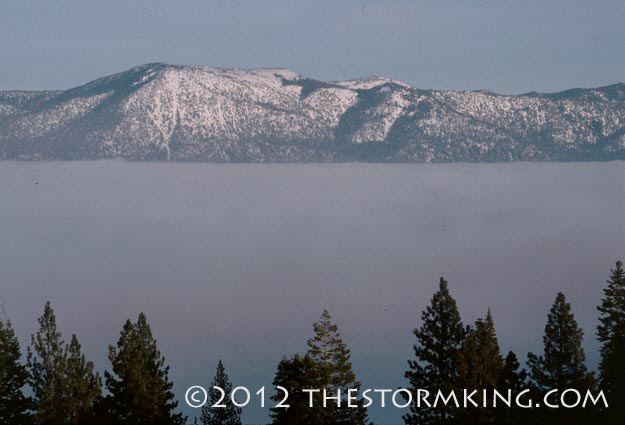
Inversion-based cloud deck fills in Tahoe Basin. Tahoe has been called "Lake of the Sky."
Andy Wirth, CEO of Squaw Valley USA and Alpine Meadows, blamed inversions for the lack of manmade snow on Squaw's upper
mountain and its top to bottom Mountain Run. In a January 7, 2012 email to season pass holders titled, "On closing, snowmaking, and
other myths" Wirth addressed rumors about problems at his ski area. He wrote, "Squaw Valley …is in a region that's blessed and cursed
with a micro-climate condition called temperature inversions. These inversions simply prohibited making snow on Mountain Run and other key areas on the upper mountain."
Tahoe inversion at night under a full moon.
In November I purchased my first snow blower, but have used it only once so far. Here at the banana-belt in Carnelian Bay, resident Ken
Wallace had measured only 9.5 inches of snow by January 1 (at his house at 6,700 feet), compared to more than 12 FEET he tallied there by the same time last year.
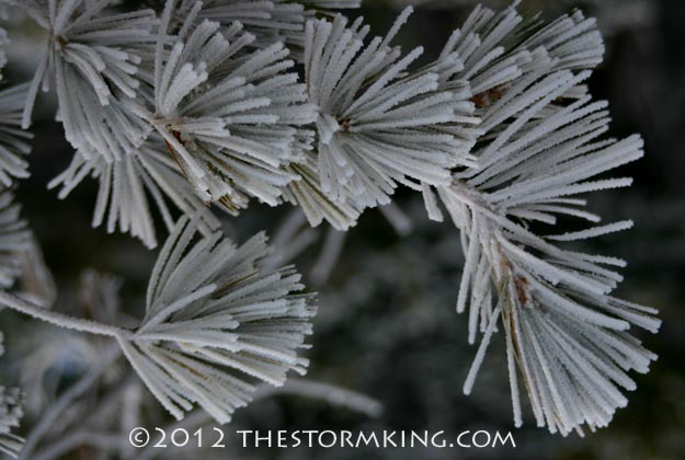
Rime covered pine needles caused by super-cooled water droplets coming into contact with the surface. Rime is a common feature with frozen fog.
The extended forecast calls for mostly dry conditions through the end of January. According to my colleague Jan Null, the total rainfall for
July 2011 through January 2012 will be 6.05 inches (44 percent of normal) in San Francisco. No season with a July-January total less
than 6.50 inches has ended up higher than 80 percent of normal at that location. Lake Tahoe still has time to make up for this year's precipitation deficit, but the clock is slowly ticking.
|


