|
Tahoe Nugget #218:
Mount Whitney: Highest in Lower 48
October 23, 2011
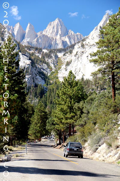
Sightseers, campers and hikers flock to Whitney Portal, gateway to the High Sierra and 13 steep miles above Lone Pine.
Easily the largest single mountain range in the contiguous 48 states, the Sierra Nevada encompasses an area nearly as large as the French, Swiss and Italian Alps combined.
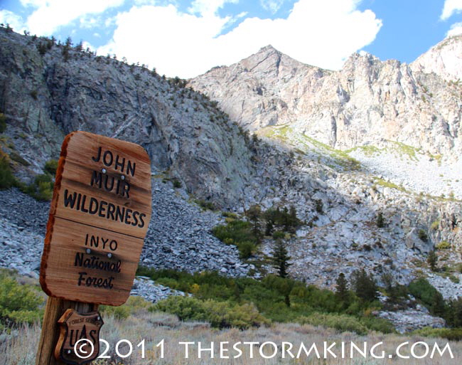
Near Mount Whitney lies the John Muir Wilderness, comprising the largest contiguous area above 10,000 feet in the continental United States. This rugged area extends for 90 miles along the Sierra crest and
contains 57 peaks higher than 13,000 feet in elevation.
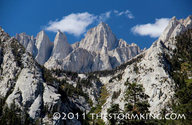
Just two miles west of the little town of Lone Pine, California, this massive wall of granite reaches it greatest height
with Mount Whitney towering 14, 505 feet above sea level. This stretch of alpine wilderness is the longest, finest,
most accessible virgin mountain land in the United States, where a hiker can travel for almost 300 miles north or
south without ever crossing a paved road or passing a town. The granite cirques and peaks protect and nurture about 200 glaciers, remnants from the last ice age, including the southernmost glaciers in North America.
Spectacular Mount Whitney towers over all other peaks in the lower 48 states.
Against all odds, including the early efforts of sheep and cattle herders, lumbermen, miners, developers and road
builders, this spectacular stretch of High Sierra wilderness remains free and protected from the curse of development that has marred and spoiled other special places on Earth.
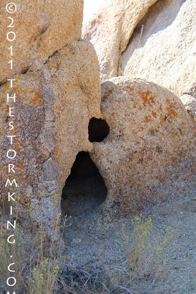
Paiute Indians in the Owens Valley stashed nuts and food in holes and then protected the vital supply from animals by sealing the holes with adobe, a mixture of dirt and water.
Mt. Whitney barely rises above some of the other 14,000 foot high summits in the region (it's only 116 feet higher
than nearby Mt. Williamson), which delayed its recognition as the tallest mountain in the lower 48 states. In fact,
prior to an 1864 State Geological Survey in this section of the Sierra, experts considered Mt. Shasta (14,179) the
highest mountain in the west. Upon its discovery, the surveyors named the peak after Josiah D. Whitney, Chief Surveyor of the California team and eminent professor of geology at Harvard University.
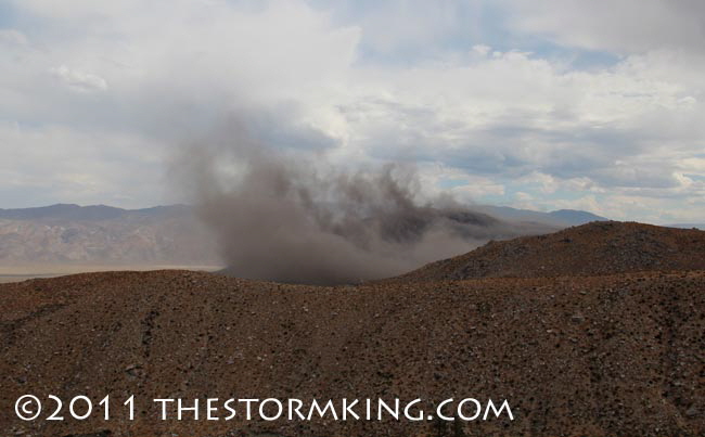
Downburst of wind stirs up a cloud of carbon debris over an area burned by wildfire.
The survey party's measurement from Owens Valley was considered accurate at the time, but despite two attempts
none of the men were able to climb the mountain for a first ascent. For several years there was confusion over exactly which peak among the jagged Sierra crest was actually Mt. Whitney. In 1871 one of the surveyors
(Clarence King) returned to the area again to climb what he thought was Whitney. It turns out that King picked the wrong mountain and climbed what is known today as Mt. Langley, a lower peak at 14,032 feet.
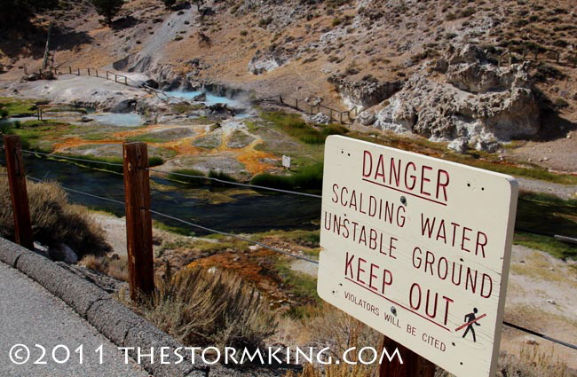
Indicative of the dynamic geologic forces at work along the Eastern Sierra are hot springs and earthquake faults.
A couple years later, two men riding mules near Mt. Langley realized King's mistake and that the highest Sierra
peak (the real Mt. Whitney) was actually several miles to the north. One of them wrote a letter to the California Academy of Sciences to publicize the error.
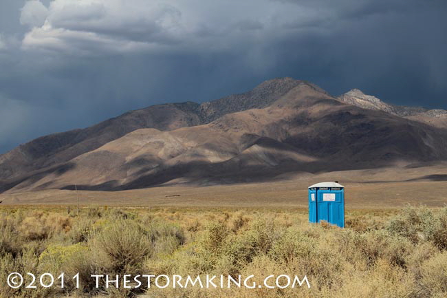
Discovering the comfort of civilization in the wilds of eastern California.
Shortly after, three local fishermen from Lone Pine made the first recorded ascent to the summit of Mt. Whitney in
August 1873, which they christened Fishermen's Peak. Residents of the Owens Valley wanted to name the
mountain Fisherman's Peak after their local resident's achievement, but in typical political gamesmanship, on April
Fools Day, 1881, the State Legislature chose to name the mountain Fowler's Peak. Fortunately, the governor vetoed the nonsensical bill and the original name of Mount Whitney became official.
|


