|
Tahoe Nugget #206:
2011 Winter Wrap Up
May 11, 2011
The 2011 water year for the Sierra Nevada won't officially end until September 30, but for all intents and purposes our exceptional winter is over. April added an above average monthly quota for snow and
precipitation in the Central Sierra, which helped advance 2011 in regional snowfall rankings at the Central Sierra Snow Laboratory (CSSL).
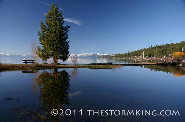
High water from snow runoff fills a sediment pond in Carnelian Bay.
For those keeping track, 2011 is currently Tahoe's sixth snowiest since the end of World War II, and ranks twelfth
since snowfall measurements began near Donner Summit in 1878. For some of us locals who have lived here for
more than 30 years, we've seen our share of epic winters. Counting all winters since 1946, fully half of the top ten snowiest have occurred since 1980.
Relative to snowfall statistics, precipitation (rain and melted snow combined) lagged a bit in the all time rankings list,
but the 75 inches of water measured so far at the Lab places 2011 in a virtual tie with 1984 for 19th wettest since
1899. Due to climate change, there has been a discernible trend of increasing amounts of winter precipitation near Donner Pass since World War II.
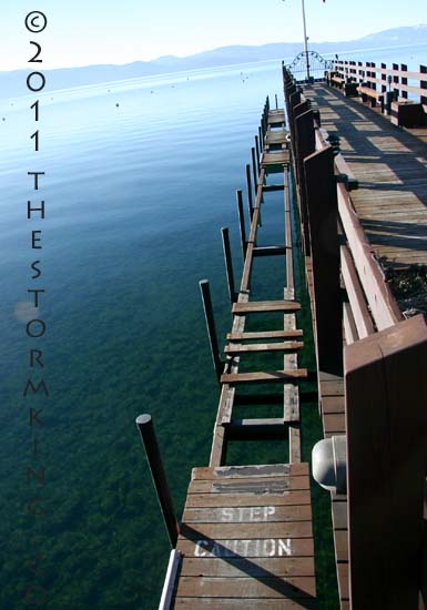
Rising water levels damaged this North Tahoe pier.
Again, for anyone who has lived in the area since 1980, you have experienced seven out of the top ten wettest
years since 1946. Although any future precipitation this year is statistically unlikely to be a major game changer,
since there are still nearly five months left in the water year the potential exists for 2011 to advance further in both snowfall and precipitation rankings.
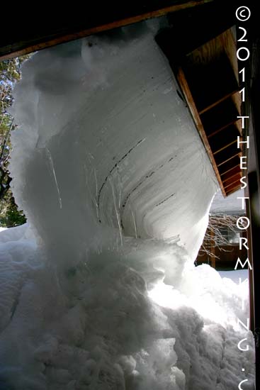
A potentially damaging viscous ice flow oozed off my roof in April.
The month of April was wet and cool which delayed snowmelt, so it was no surprise that the May snow survey
indicated a phenomenal double normal snowpack in the Lake Tahoe-Truckee region. At this point Lake Tahoe as
a reservoir is storing about 50 percent of its capacity, which is 92 percent of average for this time of year. In direct
benefit from this winter's prodigious storm production, Tahoe's surface level has increased dramatically since last
year and is projected to rise another two feet or more, an estimate that puts the lake's high point less than 12 inches from its federally-mandated maximum of 6,229.1 feet.
Water levels in reservoirs on the Truckee River system are excellent at 126 percent of average, and stream flow for
the Truckee River during the May-July forecast period is expected to be nearly double normal. Cold, swift water
this year requires more caution than usual for people and pets interacting with our regional streams and rivers.
Despite the heightened flood potential through June, risks are lower on the Truckee River main stem due to available flood control storage in the reservoirs
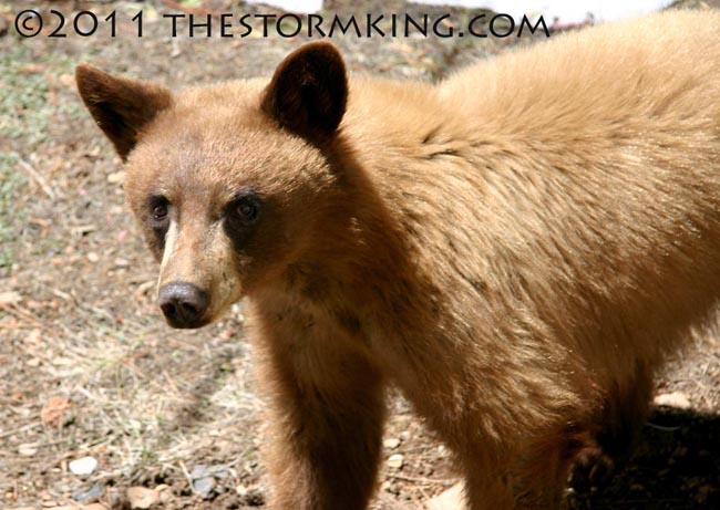
This juvenile bear was hanging around in the yard yesterday, looking for picnic baskets no doubt.
The La Niña-influenced storm patterns this winter blasted the Sierra with epic amounts of snow as a hyperactive jet
stream drove cyclonic dynamos into the West Coast. The Storm King blessed the mountains with enough moisture
this year that Lake Tahoe will rise nearly five feet. That huge amount of water is an incredible gift that historically
has often come with adverse regional economic impacts due to floods or storm damage. Most of us are glad that this winter is just about done, but we'll be reaping the hydrological benefits for many months to come.
|


