 |
|
|
Follow Mark on Facebook for more stories |
||
 |
||||||
|
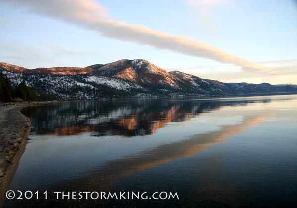
Tahoe Nugget #199: 2011 Tahoe Winter Update After a record breaking start, the extraordinarily stormy pattern of November and December 2010 has segued into a prolonged period of high pressure during the early weeks of 2011. January (normally the
wettest, snowiest month of the year) shot by with barely a flake from the sky. The Central Sierra Snow Laboratory at Norden near Donner Pass picked up just 20 inches of snow all month, a far cry from the January average of 81 inches. After reviewing the data, I could find only four years since 1879 where a January at Norden was drier, including 1885, 1891, 1902 and 1976. The extended stretch of fair weather gave locals a break from December's exceptional storm barrage, but it also
cut the Sierra's double normal snowpack from a month ago to just 108 percent of average now throughout the
range. Conditions are a little better here in the Central Sierra where water content is averaging 126 percent of normal for the date. Meteorologists are concerned that the persistent high pressure that has been dominating the eastern Pacific Ocean
may continue and lead to drier conditions, a pattern often associated with La Niña events like the one occurring this
year. The high amplitude ridge of high pressure that is driving winter storms north of California is also contributing to the record breaking snowstorms slamming the midwest and East Coast.
Despite the lack of new snow, Tahoe ski resorts are boasting excellent top to bottom coverage, with a base ranging from three feet to more than 12 feet deep. The professional teams of snow groomers are out in force every night rolling and smoothing the surface to perfect corduroy. Extended episodes of dry weather are normal during a Sierra winter and snow and rain will eventually return to replenish the depleted snowpack and freshen the slopes with p |
||||||
|


