 |
|
|
Follow Mark on Facebook for more stories |
||
 |
|||||
|
Tahoe Nugget #193: Monster Storms of October For the second year in a row, a warm, wet Pacific storm has pummeled the Northern Sierra before Halloween. What's going on? Climatologically, October is not a very productive month when it comes to precipitation in the Sierra. At the Central Sierra Snow Laboratory near Donner Pass, the tenth month averages less than three inches of precipitation, about six percent of the water expected there annually. But this October has been so wet that even before the most recent storm pounded the region, Reno had already set a new record for the wettest October ever, since 1871.
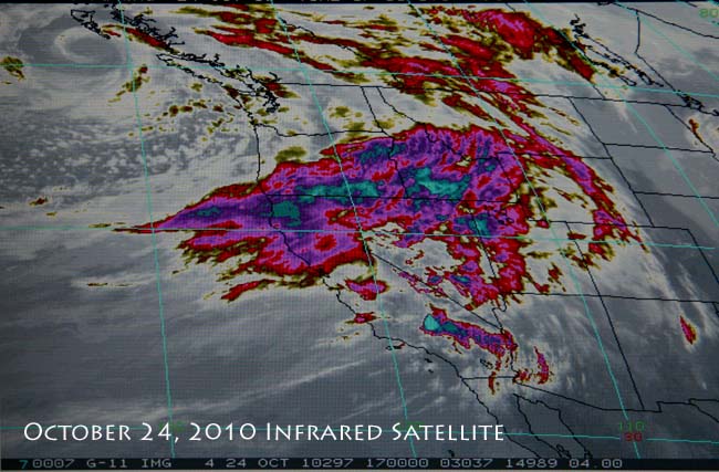
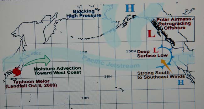
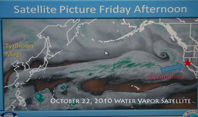
The subtropical-influenced moisture plume that surged into Northern California and deluged the region with near record amounts of rain last weekend was driven by a wicked fast jet stream approaching 200 mph. Entrained in the flow were the juicy remains of a Philippine typhoon. When the moisture slammed against the towering Sierra Range on October 24 and 25, the resulting downpour was impressive.
In the San Francisco Bay Area and the Sacramento Valley, the rain and wind played havoc with trees, traffic, and power lines, but the relatively short-lived event did not cause serious damage. Downtown Sacramento picked up 1 .60 inches of rain, but once the air mass began its lift over the Sierra, rainfall amounts increase exponentially. Preliminary reports indicate that Blue Canyon (elevation 4850 feet) picked up 9.81 inches in about 48 hours, but even that hefty total was exceeded by the more than 11 inches measured near the Hell Hole Reservoir (elevation 5239) west of Lake Tahoe.
The higher amounts of precipitation along the Sierra west slope is caused by a natural phenomenon called orographic uplift. As wet air is forced over the range, it cools and releases additional moisture. This is illustrated by the difference in average annual precipitation amounts between Sacramento (20 inches) near sea level on the valley floor and Blue Canyon (more than 68 inches), near 5,000 feet in elevation.
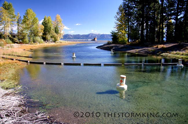
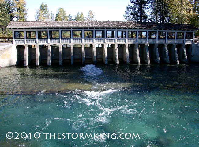
Contrary to the historic drying trend of autumn, since the end of September the water flow from Lake Tahoe into the Truckee River has actually gone up, not down. Heavy rain falling on the Tahoe watershed last week jacked the lake level several inches, a huge amount of water and an additional cushion against the lake sinking to the natural rim where surface water fails to reach the Truckee River. It seems that predictions of Lake Tahoe falling to the rim were premature.
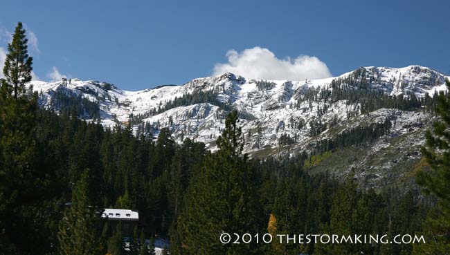
In addition to the heavy rain, extreme winds ripped across the region. On Squaw Peak, elevation 8,700 feet, the anemometer peaked out at 132 mph. At the 9,650 foot level of Slide Mountain, gusts reached 126 mph. The upper elevation winds spilled over to lake level where a 56 mph wind gust tore through the Tahoe Keys at South Lake Tahoe. Along the eastern Sierra in western Nevada, downslope gusts reached 76 mph. In Washoe Valley, screaming winds snapped trees in half, blew down freeway signs, and toppled a tractor trailer.
Last week's weather system shared a virtually identical synoptic signature as the wet and windy storm that drenched the region in October 2009. But neither event can match the record-setting Columbus Day storm of October 1962, when seven inches soaked San Francisco and nearly two feet of rain fell on the mountains in three days. That epic storm disrupted baseball's World Series between the San Francisco Giants and New York Yankees, a prolonged and soggy event eventually won by New York.
Fortunately, this year the monster October rainstorm arrived before the World Series opens in San Francisco with the Giants back in it, ready to play the Texas Rangers.
|
|||||
|

