 |
|
|
Follow Mark on Facebook for more stories |
||
 |
|||||
|
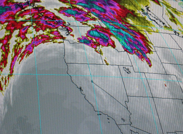
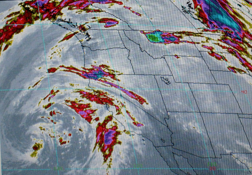
Tahoe Nugget #164: Tahoe Winter Update – Drought? The ugly "D" word has reared its head again. High pressure dominated the region during much of January 2009, so it's no surprise that precipitation totals for the month came in well below average. San Francisco received only 19 percent of its January average while Sacramento reported just 37 percent of normal. Down south San Diego had virtually no rain all month, but more importantly the northern portion of the state was extremely warm and dry. Shasta Reservoir, located in the northern Sacramento Valley near the headwaters of the Sacramento River, is the state's largest and most important for providing water to arid, heavily populated Southern California. At this time water storage in Shasta Reservoir is the lowest in more than 30 years. Redding, California, is located about eight miles from Shasta Reservoir. January is usually the wettest month of the year, but Redding reported less an inch of rain (14 percent of normal). Average maximum temperatures were freaky high at nearly 8 degrees above normal for the whole month. The entire Sacramento River Basin is now classified as in extreme drought. Hydrologists are warning that California may be facing the worst drought in its history. Fifty-three of California's 58 counties are under disaster declarations as the dry conditions have devastated agricultural activities. Severe drought conditions prevailed in the early 1990s, but since then the Golden State has added another 10 million people to its population. The strong population growth adds greater demand to a water supply that is both limited and erratic. Water content in the vital Sierra snowpack is currently running about 65 percent of average, but surprisingly skiing at Tahoe resorts has been very good thanks to snowmaking and grooming equipment. The short days and low, mid-winter sun angle has spared all but the south facing slopes. Fortunately, the persistent dome of high pressure has moved east and opened the door to Pacific storm systems that should boost the snowpack and everyone's attitude. Today is National Weatherman's Day so don't forget to hug your favorite forecaster! http://www.crh.noaa.gov/lsx/?n=wxmanday Photo #1: Infrared satellite image clearly shows storm-blocking dome of high pressure.
. |
|||||
|

