|
Tahoe Nugget #69:
The Rise & Fall of Lake Tahoe (5 Photos)
May 2, 2006
The water year ends on September 30, but for all intents and purposes, the heavy winter of 2005-06 is over. April was very cool and wet — more than 400% average precipitation in San Francisco — but May
has opened with temperatures ranging from 10 to 15 degrees above normal. (Close to 90 degrees in Sacramento.)
On average, the Northern Sierra Nevada received more than 78 inches of precipitation this winter
(rain and snowmelt combined), or about 175% of normal. The recent rise in temperatures has begun to melt the massive mountain snowpack and stream and rivers are gushing with the frigid runoff. Reservoir operators
all along the Sierra west slope are dumping water to make room for the heavy inflow expected over the next two months and hydrologists are keeping an eye on downstream rivers like the San Joaquin.
Lake
Tahoe's surface elevation is projected to rise a total of 4.6 feet this year and reach close to its maximum legal limit at 6,229.1 feet above sea level. This anticipated increase in Tahoe's elevation ranks
as the 13th greatest on record. The last time Tahoe reached its maximum elevation was six years ago in 2000.
To gain some perspective as to how much water this increase represents, just one tenth of one inch
of Tahoe's surface water is enough for the daily needs of 3,500,000 people. With a maximum depth of 1,645 feet, Tahoe is the 3rd deepest lake in North America and the 12th deepest in the world. If this alpine
lake were emptied, it would cover all of California with more than 14 inches of water, and then take about 700 years to fill back up.
The lake is massive all right, but it's the top six feet that really
matter. Due to the erratic climate here in the West, it's level can rise or fall with dramatic impact. A federal water master is responsible for managing the lake's top six feet above its rim of 6,223 feet
(the Lake Tahoe Reservoir), an important job that affects the region's economy and environment. Too much water released through the Tahoe Dam and the Truckee River may flood Reno. When the lake falls below its
rim, no water feeds the Truckee River which supplies more than 75% of Reno's water needs. The rise and fall of Lake Tahoe also impacts tourism, from beaches to boats.
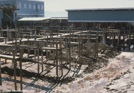
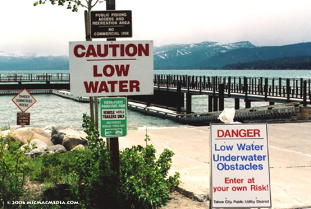
Photo #1: Low water in Tahoe in 1992
was bad for business.
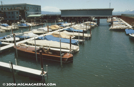
Photo #2: Boating is a big part of the summer economy.
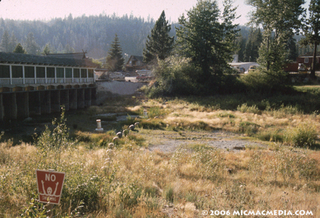
Photo #3: The Tahoe Dam is the headwaters to the Truckee River, a vital water supply for Reno.
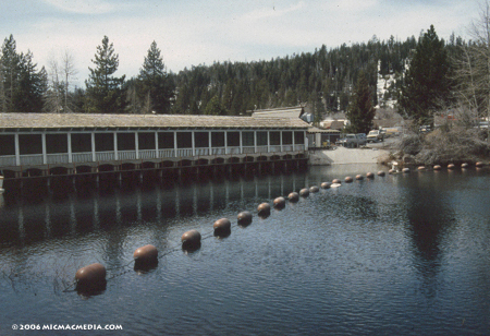
Photo #4: Water in Lake Tahoe is
water in the bank for Nevada.
Photo #5: Time to pull down the signs. November 2005
|


