 |
|
|
Follow Mark on Facebook for more stories |
||
 |
|||||
|
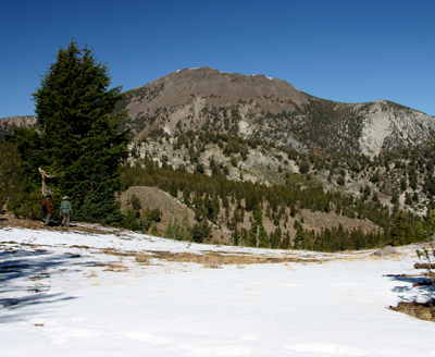
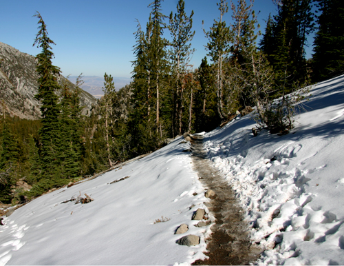
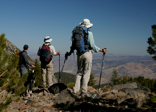
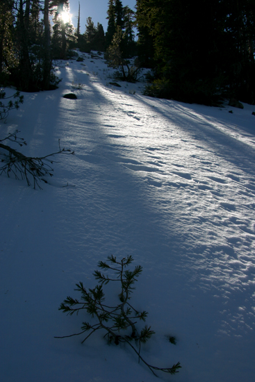
Tahoe Nugget #122: Winter 2008 Ramping Up Early The eastern half of the USA has been experiencing unusual summer-like weather recently, but while no one was looking, an aggressive weather pattern has been setting up in the eastern Pacific Ocean. The Pacific jet stream has been stronger than normal and further south than usual since mid-September. The on-shore flow through the Sacramento River delta kept the city of Sacramento's September temperatures a very pleasant 5 degrees below average. In the mountains, however, it's been cooler and wetter than normal this October. No Indian summer for us this year. In 2007 a weak El Niño event sparked hopes for a big winter, but only 275 inches of snow fell on Donner Summit last year, well below the average of 410 inches. This time around, however, weather prophets are eyeing a moderate La Niña chilling in the Pacific. In contrast to the warmer waters associated with an El Niño event, a La Niña episode is characterized by cooler than normal sea surface temperatures in the eastern and central equatorial Pacific. La Niña-influenced winters often feature a subtropical jet stream that taps moisture from Hawaii and delivers heavy doses of it to the Pacific Northwest. Westerners call this pattern the "Pineapple Express." This "Maui Connection" occurred during the moderate La Niña of 1995-1997, which featured several major flood events, including the catastrophic $500 million New Years Flood on the Truckee River in 1997. Sierra floods are usually caused by these heavy, high-elevation rains washing out the snowpack. Later this week we're expecting rain up to 10,000 feet, but because it's so early in the season there is no snowpack to melt and cause flooding. For about a month now, the active weather pattern has been hitting the Pacific Northwest with early storms. Several of the systems have dragged cold fronts through the Tahoe Basin bringing us little shots of snow and rain. To check out backcountry conditions in the higher elevations, yesterday I took a short 7-mile hike on the Tahoe Rim Trail near the "extinct" volcano Mount Rose, located just northeast of Lake Tahoe. Much of the trail in this region is above 9,000 feet and some of it higher than 10,000 feet. The trail passes picturesque lakes, unusual rock formations and active avalanche chutes. Since I only had about 4 hours to walk, I didn't make it to the summit of Mt. Rose at 10,776 feet. It was a beautiful October day with strong sunshine and great views, but there was no doubt that winter is on its way in the high country Photo #1: This part of the Tahoe Rim Trail begins near a parking lot at 8,900 feet above sea level, which gives the hiker or mountain biker the advantage of a high elevation start. Photo #2: Mt. Rose summit in distance. Note hikers taking in the view at right. Photo #3: Snow covered trail on east facing slopes Photo#4: Hikers looking east over western Nevada Photo #5: New snowpack in its infancy this October
|
|||||
|


