|
Tahoe Nugget #102:
Tahoe's Lake Effect Snow
December 17, 2006
A cold, low pressure system with origins in the Gulf of Alaska spread snow throughout the Central Sierra and much of western Nevada last night. Snowfall amounts were relatively light, from two inches here in
Carnelian Bay, to 3-5 inches in Nevada valleys, to 10 inches in the upper elevations, but sub-freezing temperatures made regional roadways very slick. Heavy holiday traffic on the icy roads turned highways into
parking lots and the Nevada Highway Patrol reported at least 120 traffic collisions in the Reno-Tahoe area.
As the cold air mass invaded the Tahoe Basin overnight, lake effect snow kicked up additional
accumulations. Similar to the lake effect snow common to locations situated southeast of the Great Lakes, when cold air flows over the surface of Lake Tahoe (and Pyramid Lake, north of Reno) the relatively warm
water is evaporated into the atmosphere and then condensed back to produce snow showers once it reaches the surrounding mountains. If the wind is from the north, South Lake Tahoe is affected; if from the east, the
West Shore.
On November 10, 2000, a cold west wind produced a major lake effect snowstorm in Carson City, which is located east of the lake on the other side of the Carson Range. Only two inches were
reported around the Tahoe Basin, but Nevada's capital was shut down by a foot and a half of snow.
Yesterday's Alaska-bred storm produced enough Utah-grade powder to make skiing excellent today (my
first day out this year), but with the exception of Heavenly Valley, which boasts one of the most extensive snow-making systems in the world, can cover 70% of its runs with man-made snow, the major resorts in
California need more natural snow. Low temperatures near zero degrees for the next few nights will be perfect for snowmaking, but it will take a real winter storm to open our local ski hills to full
capacity.
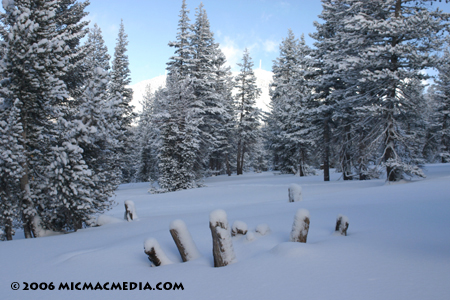
Photo #1: Current snowpack ranges between 10 to 20 inches deep near the Mt. Rose Meadows at 8,900 feet, but we need a solid base of at least several feet to cover obstacles like these tree stumps to
make downhill skiing safe.
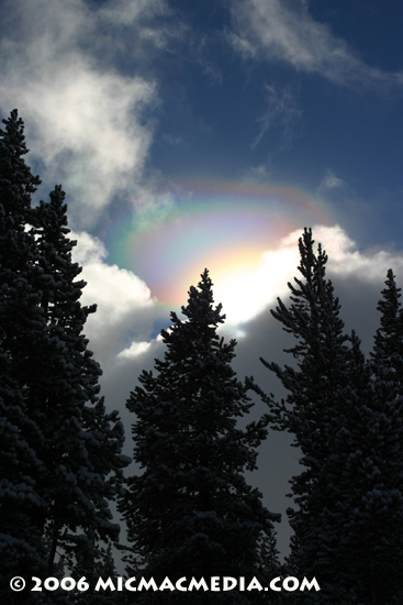
Photo #2: Observed a spectacular corona while skiing today (the best I've ever seen), but unfortunately it had shrunk dramatically by the time I got my camera out of my
backpack.
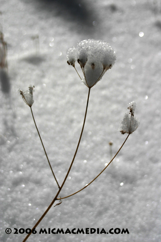
Photo #3: The powder was so light today, that this delicate weed had no problem holding its share.


|


